


Where to Find a Map of Sydney Airport Terminals
Where to download the official Sydney Airport terminal maps
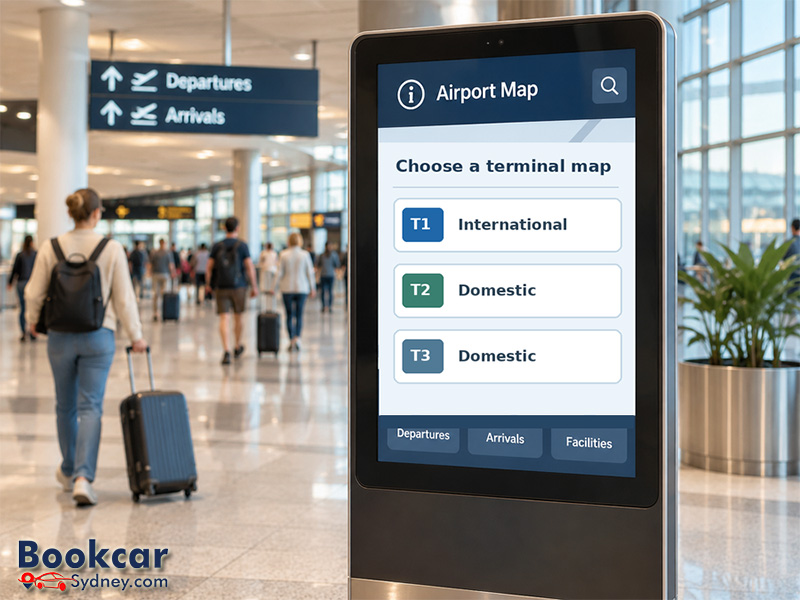
Open the Sydney Airport maps page and choose the terminal and area you need. The page groups the plans by terminal, so you do not have to rely on a single airport-wide diagram for detailed directions.
- T1 International: departures; arrivals before passport control; arrivals after passport control; and Level 3 administration.
- T2 Domestic: check-in, departures and arrivals.
- T3 Domestic: departures, arrivals and administration.
- Other maps: airport precinct access, car parks, pedestrian routes, passenger pick-up and drop-off, accessible parking and sensory-friendly areas.
Each map opens as a separate document that you can view on a phone or computer. Save the PDF before travelling if you would prefer to use it without an internet connection.
For a quick starting point, open the T1 departures map, T2 departures map or T3 departures map. For arrival halls or check-in areas, return to the full maps page and select the corresponding plan.
How T1, T2 and T3 are laid out
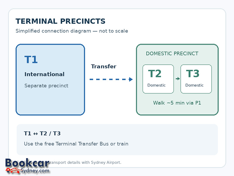
Sydney Airport has three passenger terminals, but they are not all in one connected building. T1 serves international flights in a separate airport precinct. T2 and T3 serve domestic flights and sit close to one another in the domestic precinct.
|
Terminal |
Main use |
Which map to choose |
|
T1 International |
International departures and arrivals |
Departures or arrivals map, depending on your journey |
|
T2 Domestic |
Domestic services, including Virgin Australia and Jetstar |
Check-in, departures or arrivals |
|
T3 Domestic |
Domestic services, including Qantas |
Departures or arrivals |
Always confirm your terminal on your booking or with your airline. The terminal map helps you navigate once you know where your flight operates; it does not replace your airline’s current flight information.
How to read a terminal map for your journey
For departing passengers
Choose the departures map for your terminal. Locate the check-in area first, then follow the marked route towards security screening and your boarding gate. At T1, the departures map also distinguishes areas before and after passport control. Look for lift, escalator and toilet symbols if you need a particular facility.
For arriving passengers
Use the arrivals map rather than the departures plan. Look for baggage reclaim, exits, train station access and onward transport connections. For international arrivals at T1, the airport supplies separate maps for the areas before and after passport control; choose the one that matches your stage of arrival.
For pick-up, parking or accessibility
The terminal floor plans are not the most useful maps for every task. If someone is collecting you, choose the dedicated pick-up map. If you are driving, check the car park and road approach maps. Travellers who need accessible facilities or want to plan around busy, noisy areas can use the accessible parking and sensory maps on the same official page.
Using the map to transfer between terminals
The distance between terminals matters when you are changing flights. T2 and T3 are linked by an outdoor pedestrian route through the P1 car park; Sydney Airport estimates the walk at about five minutes. T1 is in a separate precinct, and you cannot walk between T1 and the domestic terminals.
For a transfer between T1 and T2/T3, the airport lists a complimentary Terminal Transfer Bus, train, taxi and rideshare as options. The airport currently states that its free shuttle operates approximately every 15 minutes from 5:30 am to 10:30 pm, with a trip of about 10 minutes. Service details can change, so read the official terminal-transfer information and your airline’s connection instructions before setting off, particularly if you have a short connection or checked baggage.
On the maps, look for transfer pick-up points on the arrivals level rather than assuming the same route is available from every gate. At T1, the airport places its Terminal Transfer Bus stop outside Arrival Hall B; the T2 and T3 stops are outside their arrivals areas.
Using a terminal map on your phone
If you prefer interactive navigation, Sydney Airport supports indoor navigation through Google Maps, including Indoor Live View in international and domestic terminals. The airport also lists Apple Maps and on-site wayfinding kiosks as options to help passengers find gates, baggage areas and facilities.
A downloaded terminal PDF is useful for planning ahead or checking a whole floor at once. An indoor map can help you orient yourself after you arrive. Whichever you use, follow the current airport signs and flight information displays for last-minute gate or operational changes.
